Gansing-3 Well Prognosis Report: Area 9, Cotabato Basin

In May 2021, we gladly reported to the Board of Directors the completion of the Gansing – 3 Well Prognosis Report: Area 9, Cotabato Basin. This report which was accomplished by a team of expert geologists, geo-scientists and drill engineers identifies the four prospects – Gansing, South Tantangan, North Roxas and Bambad in Area 9 (Sultan Kudarat and South Cotabato) where hydrocarbon accumulation potentially exist. These prospects were mainly identified based on the apparent structural traps reflected by good seismic reflectors which correlate to Top Middle Miocene section – the primary reservoir target in the area. Out of the four identified prospects, Gansing Prospect is the most prospective due to its size, computed resources, and proven gas shows from the drilling of Gansing-1 and Gansing -2/2A.
The location of the Gansing Structure however, was found to contain overpressure zones, shallow gases and localized long gas columns based on the drilling of Gansing-1 and Gansing-2/2A. These two wells were designed to test the hydrocarbon potential of the Gansing structure but failed to reach its depth objectives due to drilling difficulties. With updated technology and cognizant of the difficulties encountered at the shallower formations, another drilling campaign is planned to test hydrocarbon accumulation in the Gansing structure. Thus, we will be drilling Gansing-3 with the following Well Details.
WELL NAME/TYPE Gansing-3 Exploratory Well
PROPOSED TOTAL DEPTH 2,453 meters subsea (8,047 feet, 10.8 inches)
GROUND ELEVATION 52 meters (170 feet, 7.2 inches) AMSL
DEVIATION Vertical well
LOCATION Latitude 6 43’ 11.471” N
Longitude124 38’ 16.804” E
DatumWGS 84
SEISMIC LOCATION Intersection of seismic lines Cotabato Basin (CB)
93-02 and CB93-20
PRIMARY TARGET Middle Miocene Nicaan Formation
SECONDARY TARGETS Upper Miocene Nakal/Maganoy Formation
The Gansing-3 is an exploratory well which will be drilled at the crestal portion of the Gansing Anticlinal Structure. The Gansing Prospect was defined by two intersecting seismic lines (CB93-02 and CB93-20). The primary target is the Middle Miocene clastic units in a fault-bounded anticline on the upthrown side of the northwest-southeast trending reverse fault. It is sealed by the intraformational shales of the overlying Upper Miocene unit and charged with hydrocarbon from the kitchen area located directly to the northeast. The crest of this prospect is at 1,436 m subsea with a gross thickness of around 600 m.
Secondary targets were identified – the Upper Miocene and the Lower Miocene clastic sequences which form part of the upthrusted sedimentary sequences and follow the geometry of the Middle Miocene structural closure. The reservoir tops are at 1062 m subsea and 2119 m subsea, respectively. The Gansing-3 total depth is planned at 2453 m subsea to intersect the deepest Lower Miocene objective.
This report discusses the geology part of the Gansing-3 drilling program especially the anticipated stratigraphy – formation depths and lithologies.
Last 21 September 2021, our team surveyed the actual well drill site. We found the actual grid coordinates provided by the Prognosis Study in the triumvirate barangays of Bilumin, Lagao and Tambak of the municipality of Lambayong, Sultan Kudarat. The site is actually a kilometer away from the old drill site (Gansing-1 and Gansing-2/2A) of Anglo-Marenco in Barangay Bilumin. Shown below is the GPS pinned map of the actual well site:

The actual well drill site is located in a small hill with an elevation of 153 meters. The location augurs well to the likes of drill engineers as they would not face difficulty from muds or floods when they set up the drill rig and start the drilling operation. Shown in the photo below is our petroleum engineer, Michael Pascual.
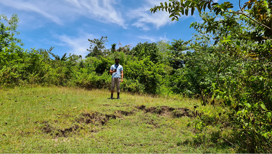
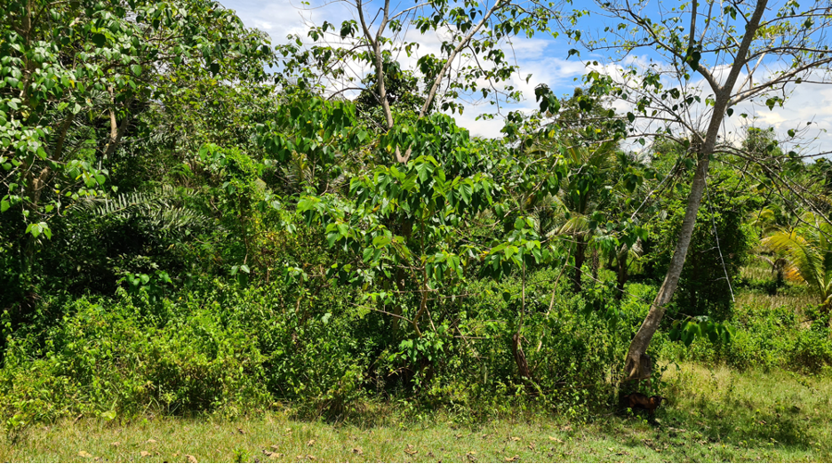
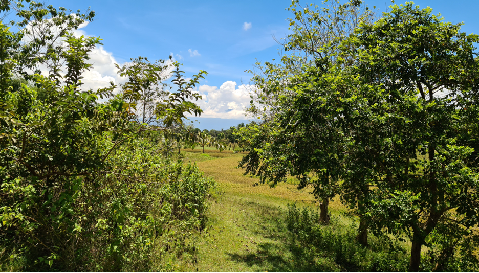
The following three pictures surround the actual well drill site.